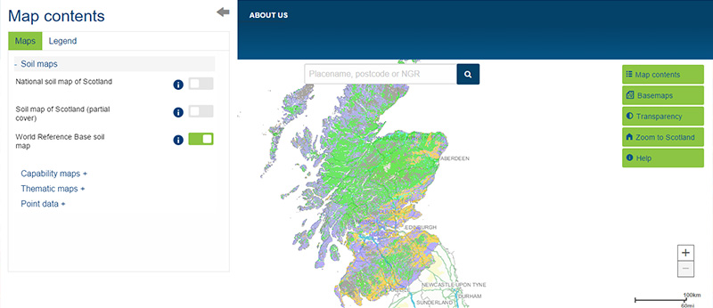
View the map or download the data
What is it?
What do I see on my screen?
The World Reference Base is an international system for soil classification and correlation developed under the direction of the Food and Agriculture Organization of the United Nations (FAO). The World Reference Base map of Scotland follows this classification.
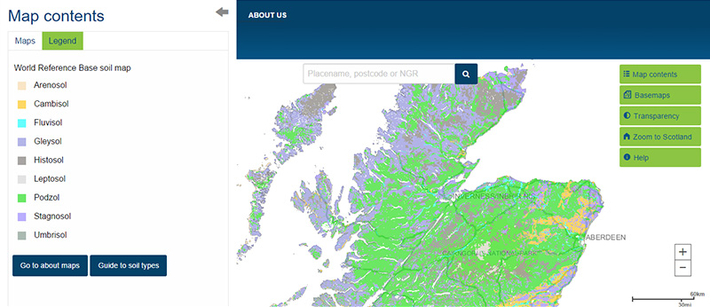
Map legend
 |
Arenosol |
 |
Cambisol |
 |
Fluvisol |
 |
Gleysol |
 |
Histosol |
 |
Leptosol |
 |
Podzol |
 |
Stagnosol |
 |
Umbrisol |
Classification
Soils are classified by grouping similar soils together according to their key characteristics. The World Reference Base classification is based on the recognition of certain features in the soil, including the horizons (layers), properties and materials which reflect how the soil was formed.
Soil map unit
The Soil Mapping Unit of the World Reference Base digital soil map of Scotland contains one Reference Group and up to 2 Qualifiers according to the World Reference Base for soil resources 2006 classification guide.
What is included in the digital dataset?
The digital dataset can be downloaded and contains soils information according to the World Reference Base.
How was the map /dataset created?
The map was based on a reclassification of the 580 soil map units of the National Soil Map of Scotland. A set of rules were applied to the dominant soil type in each of the 580 units to reclassify the soils distinguishing between the broad land uses (cultivated or uncultivated). This map should be cited as: 'Lilly, A., Baggaley, N. & Donnelly, D. (2012). Map of WRB soils of Scotland. Map prepared for EU project GS-SOIL - Assessment and strategic development of INSPIRE compliant Geodata-Services for European Soil Data. ECP-2008-GEO-318004'.
How is it updated?
The map has not been updated since publication.
Using the map
What can I do?
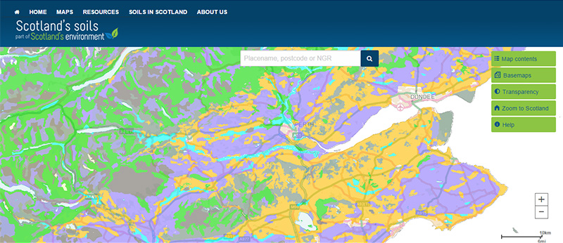
You can click on the map, or insert a grid reference or post code, to find out more about the soil type found there. You can also download the map data. This map covers the entire country, providing a national overview of basic soils types according to a recognised world classification system.
Be aware: This map is produced at a fixed scale; zooming-in does not change the resolution of the map.
Technical and reference material
This page was last updated on 25 May 2017
Adobe Acrobat Reader is the free, trusted leader for reliably viewing, annotating and signing PDFs.
Download Adobe Acrobat Reader


