View the map or download the data
What is it?
What do I see on my screen?
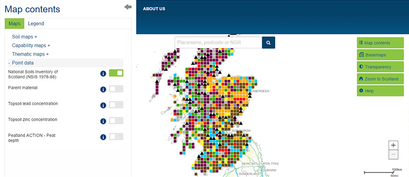
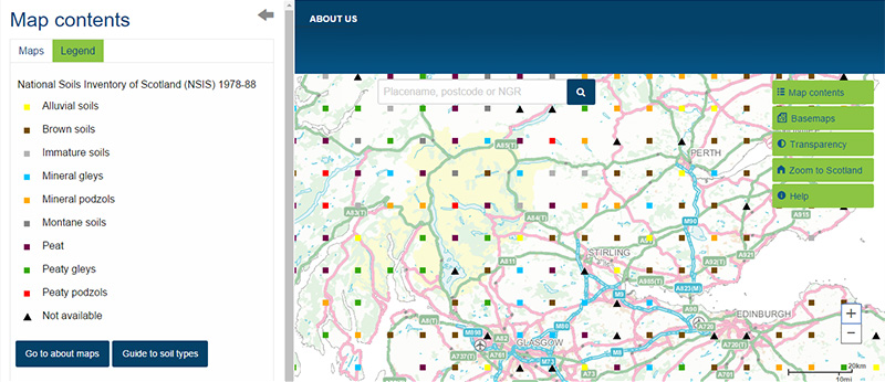
This map shows the sampling locations of the National Soil Inventory of Scotland, classified by the soil type found at each location. Sampling was carried out on a 10 km grid between 1978 and 1988, and 721 locations were sampled. The soil at each location is described by a wide range of soil physical and chemical properties – you can find values for each parameter in the NSIS dataset.
Map legend and soil classification
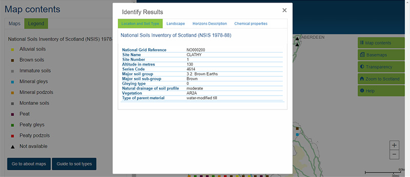
The soil type shown in the legend is a simplified version of the more complex soil classification. Click on the data point to see more detailed information about the soil found there.
What is included in the digital dataset?
The National Soil Inventory of Scotland (NSIS 1978-88) dataset was collected at locations arranged on a 10 km grid across the country. The soil and landscape at each sampling location are described and a wide range of soil properties are measured in the laboratory from soil samples taken at these locations. These include contextual information describing the surrounding landscape (such as slope and vegetation) and detailed chemical and physical analyses of each horizon (layer) within the soil profile. The map shows the location of each sampling location – click on a location to see more about the soil type and properties found there.
How was the map / dataset created?
You can find out more about the protocols used to generate this map in the NSIS Soil location, sampling and profile description protocols. This map should be cited as: 'Lilly, A., Bell, J.S., Hudson, G., Nolan, A.J. & Towers. W. (Compilers) (2010). National soil inventory of Scotland (NSIS_1); site location, sampling and profile description protocols. (1978-1988). Technical Bulletin. Macaulay Institute, Aberdeen. DOI:10.5281/zenodo.4650230.'
How is it updated?
Although the dataset itself has not been updated, a partial resampling of the National Soil Inventory of Scotland was conducted in 2007-09 (NSIS 2007-09). The data from the resampling has still to be published.
Using the map
What can I do?
The map shows the location of each sampling point. Click on the point to find out more about the soil found at that location. You can also download the data for the whole of Scotland.
Technical and reference material
This page was last updated on 25 May 2017
Adobe Acrobat Reader is the free, trusted leader for reliably viewing, annotating and signing PDFs.
Download Adobe Acrobat Reader


