
Capability maps
Capability maps classify land based on the potential for what it could grow and how well it could grow it. These take into account soils, climate and landscape. Capability maps are available for both agriculture and forestry.
Where coverage exists, the Land capability for agriculture (partial cover) map takes precedence over the National scale land capability for agriculture map.
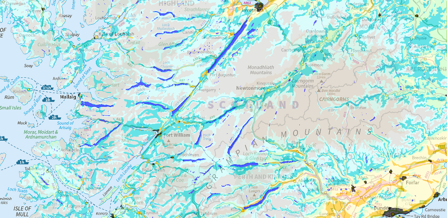
National scale land capability for forestry
The National scale land capability for forestry map provides information on the potential for land to grow trees based on a number of factors including soil, climate and topography.
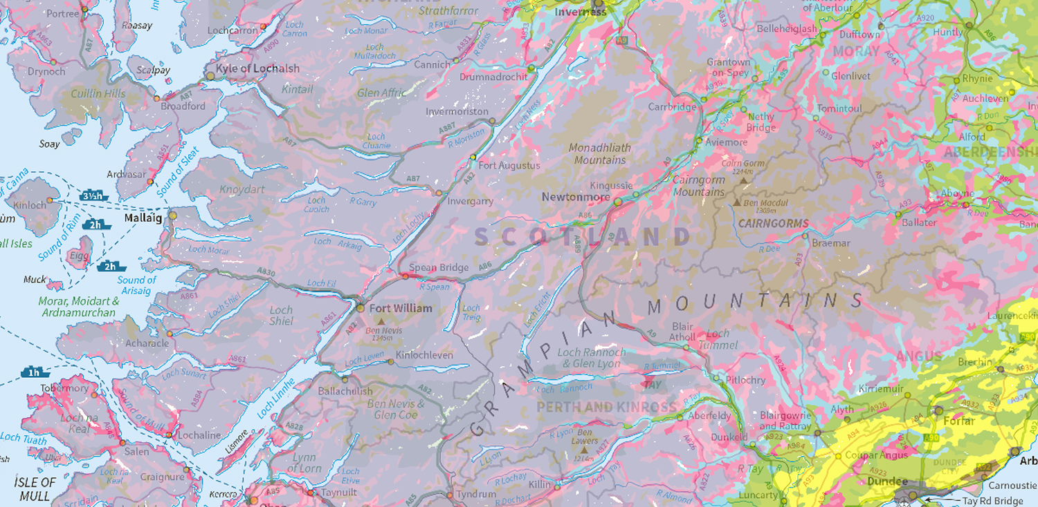
National scale land capability for agriculture
The National scale land capability for agriculture map provides information on the types of crops that may be grown in different areas dependent on environmental and soil characteristics.
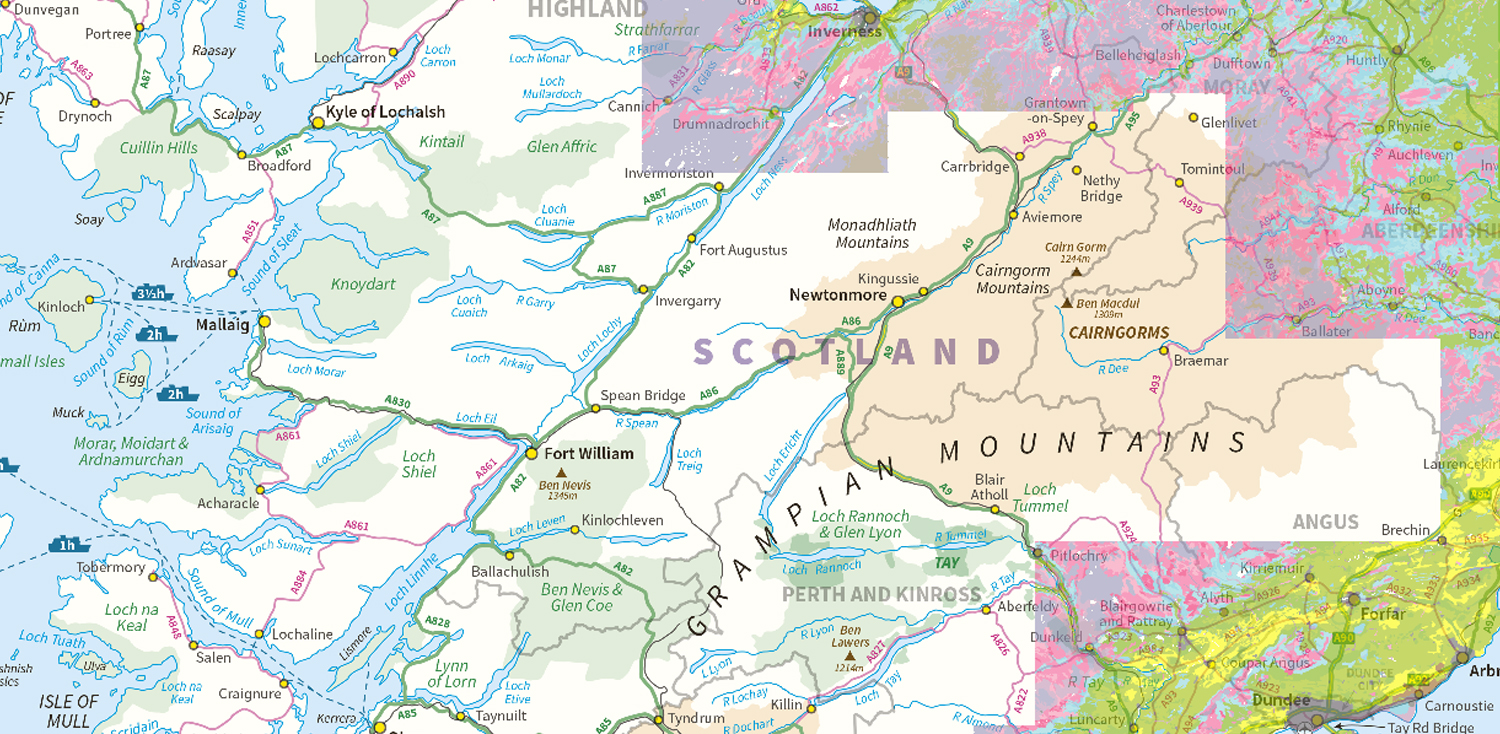
Land capability for agriculture (partial cover)
The Land capability for agriculture (partial cover) map provides information at a greater resolution than the national map on the types of crops that may be grown in different areas dependent on the environmental and soil characteristics.