Point data
Point data are data that relate to soils at a specific location. At these points, soils have been described, sampled and later analysed for a range of properties. The point data maps show where the soils were sampled and selected properties of interest.
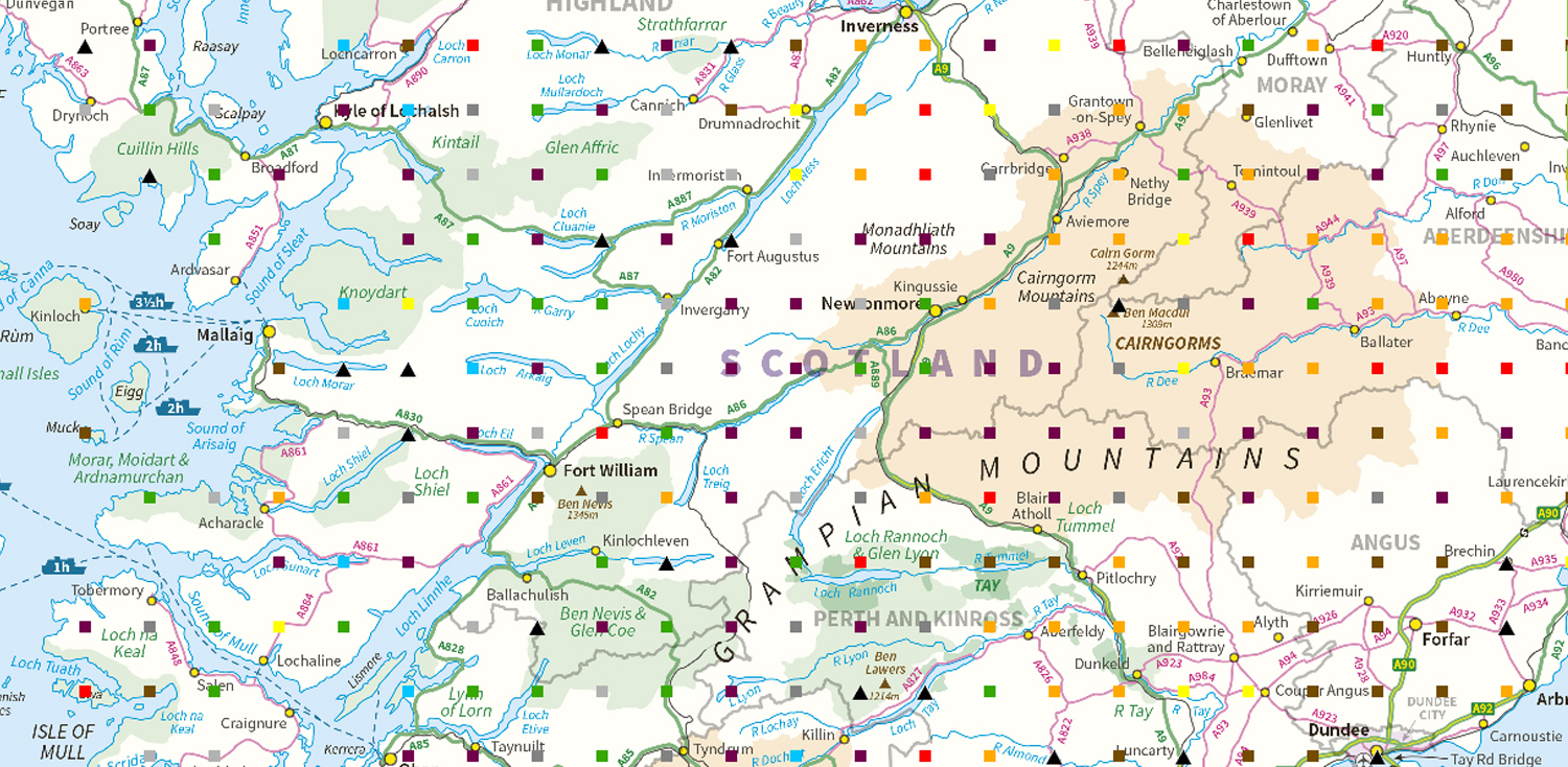
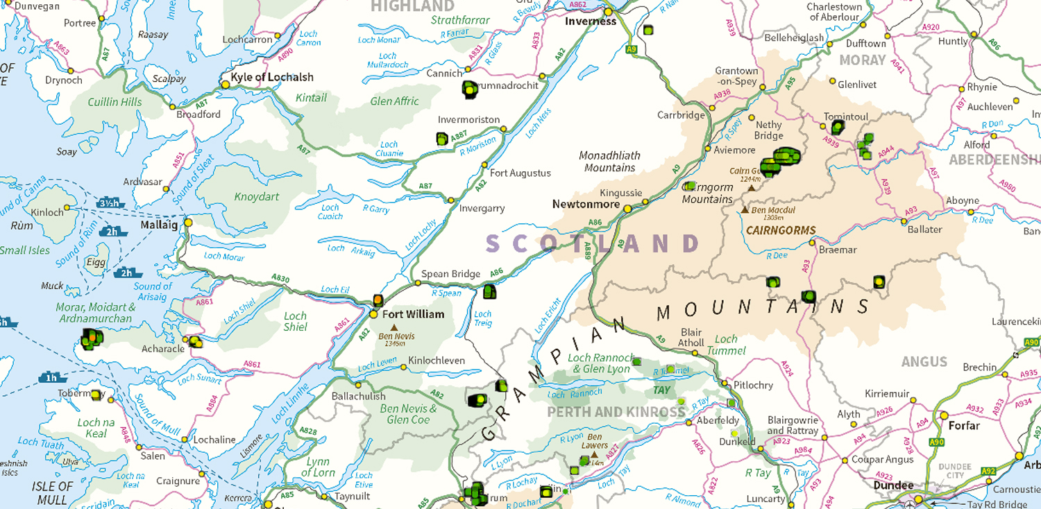
National Soil Inventory of Scotland (NSIS 1978-88)
This map shows the sampling locations of the National Soil Inventory of Scotland, classified by the soil type found at each location.
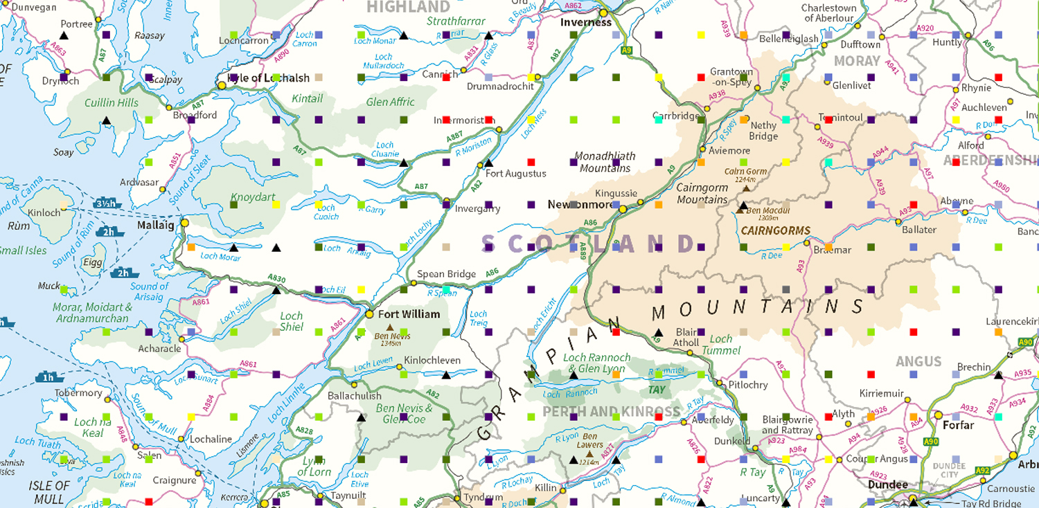
Parent material
This map shows the soil parent material found at each National Soil Inventory of Scotland sampling location.
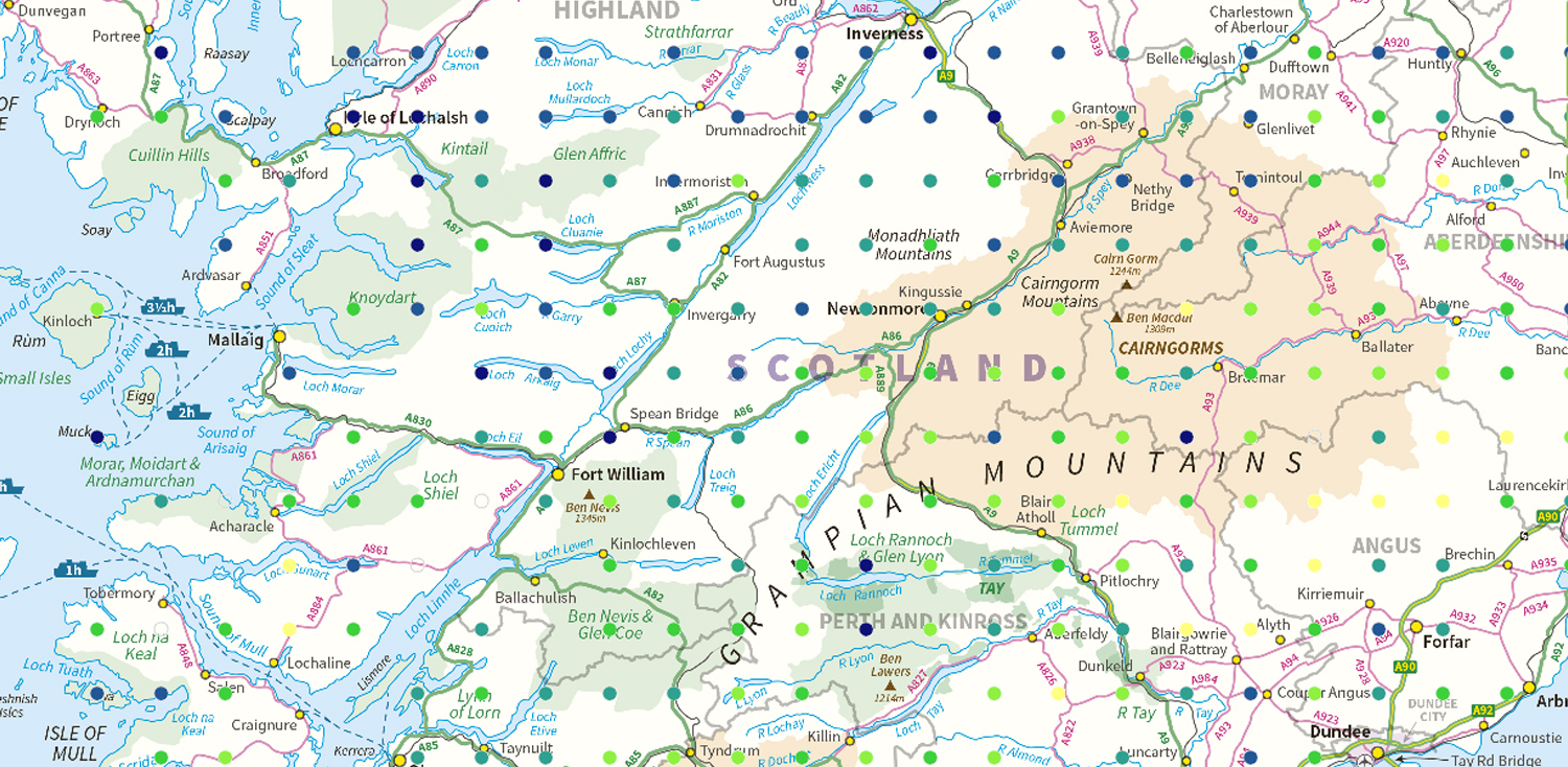
Topsoil lead (Pb) concentration
This map shows the location of the National Soil Inventory of Scotland sampling points. The colour of the symbol relates to the lead concentration of the topsoil found at that point (in parts per million of air-dried soil).
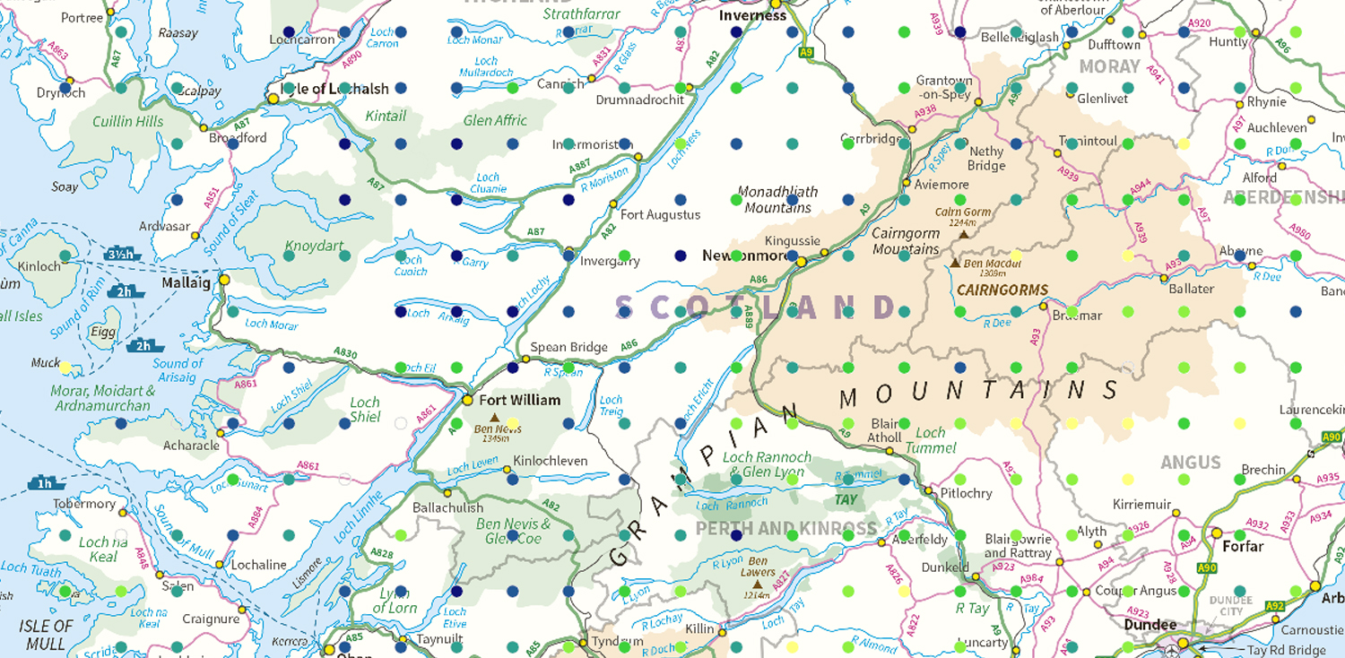
Topsoil zinc (Zn) concentration
The map shows the location of each National Soil Inventory of Scotland sampling point. The colour of the symbol relates to the zinc concentration of the topsoil found at that point (in parts per million of air-dried soil).
Peatland Action - peat depth
This map shows the locations where peat depth was recorded as part of the feasibility studies and baseline information collection for the Peatland Action restoration program.