
Risk maps
Risk maps show areas of soil at risk of erosion, runoff, leaching and both topsoil and subsoil compaction, based on the inherent properties of the soil and the landscape.
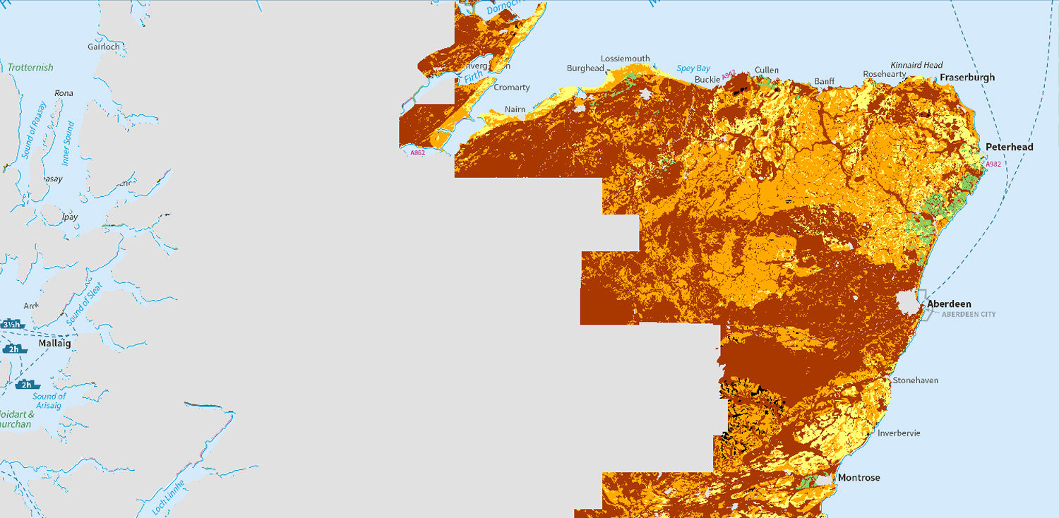
Map of subsoil compaction risk (partial cover)
The map shows the vulnerability of subsoils to compaction by traffic. It covers most of Scotland’s cultivated agricultural land area.
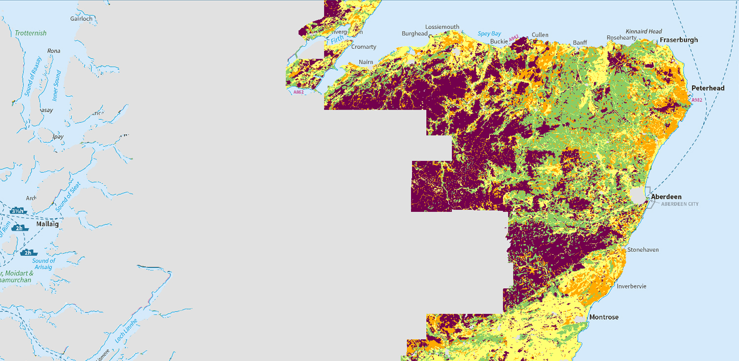
Map of topsoil compaction risk (partial cover)
The map shows the risk of topsoil becoming compacted by traffic. It covers most of Scotland’s cultivated agricultural land area.
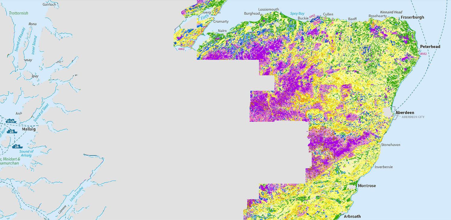
Map of soil erosion risk (partial cover)
The map shows the risk of a bare soil being eroded by water under intense or prolonged rainfall. It covers most of Scotland’s cultivated agricultural land area.
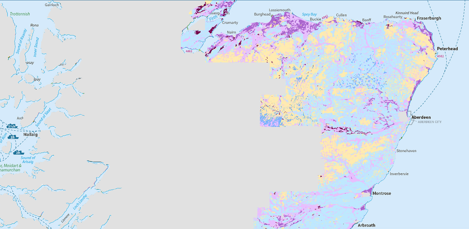
Map of soil leaching potential (partial cover)
The map shows the risk of potential pollutants and nutrients leaching through the soil to ground and surface waters. It covers most of Scotland’s cultivated agricultural land area.
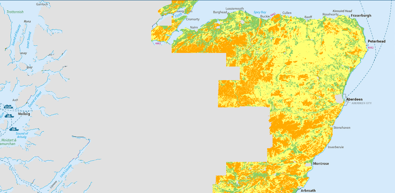
Map of runoff risk (partial cover)
The map shows the risk of soil becoming saturated and causing water to flow over land (runoff), potentially carrying pollutants into water courses. It covers most of Scotland’s cultivated agricultural land area.