View the map or download the data
What is it?
What do I see on my screen?
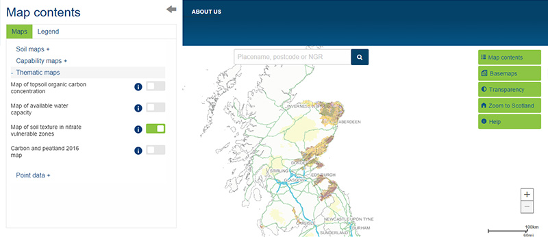
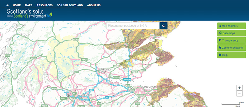
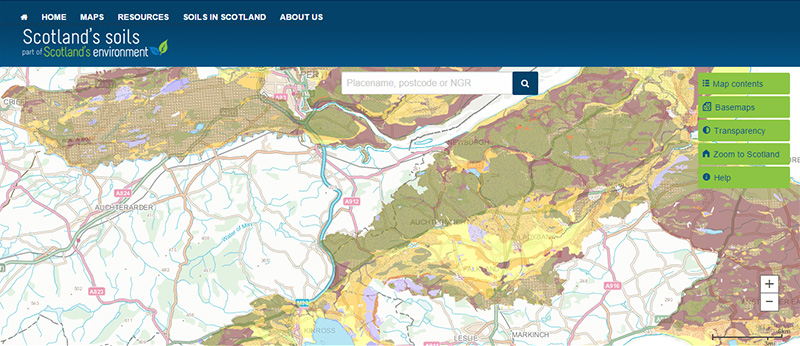
Soil texture in Nitrate Vulnerable Zones (NVZs) provides information to help understand when and what management practices can be performed within NVZs.
Map legend
The soils are grouped into the following broad categories:
 |
Sand soils - Soils which are sand and loamy sand textures to a depth of more than 40 cm |
 |
Sandy loams - Soils that are sandy loam texture to a depth of more than 40 cm |
 |
Shallow soils - All mineral soils which are less than 40 cm deep between the soil surface and the underground rock |
 |
Other mineral soils (OMS) - Soils with less than 15 % organic matter that do not fall into the sandy or shallow soil category i.e. silty and clay soils |
 |
Humose soils - Soils with between 15 and 35 % organic matter. These soils are darker in colour, stain the fingers black or grey, and have a silky feel |
 |
Peaty soils - Soils that contain more than 35 % organic matter |
What is included in the digital dataset?
Farms that fall into areas designated as NVZs have a number of restrictions on certain management practices at specific times of the year. This period varies according to a number of factors, including the texture of the soil. This map was developed to show the distribution of the particular soil texture classes as they are described in the Nitrate Vulnerable Zone Action Programme.
How was the map / dataset created?
Soil texture data is derived from the Scottish Soils Database for each soil series that occurs in the designated NVZs and based on the Soil map of Scotland (partial cover). The measured particle size data for each soil horizon (layer) was classified to a depth of 80 cm into a soil texture type based on the British Standard Texture Classification and assigned to one of the six broad categories and many additional sub-categories. This map should be cited as: 'Lilly, A., Bell, J.S., Malcolm, A. & DeGroote, J. (2003). Maps of Indicative Soil Texture Classes for Nitrate Vulnerable Zones (NVZs) in Scotland at a scale of 1:50 000. The Macaulay Institute, Aberdeen'.
How is it updated?
The map was updated in 2016 to include new designated areas in Strathmore and the South-West and to take account of areas that were undesignated.
Using the map
What can I do?
You can click on the map, or insert a grid reference or post code, to find out the soil texture at that location. You can also download the map data. You can use the map to identify the soil texture classes of land within the designated NVZs in relation to the rules governing the use of organic and inorganic nitrogen fertiliser within designated NVZs.
Be aware: This map is produced at a fixed scale; zooming-in does not change the resolution of the map.
Technical and reference material
This page was last updated on 25 May 2017
Adobe Acrobat Reader is the free, trusted leader for reliably viewing, annotating and signing PDFs.
Download Adobe Acrobat Reader


