View the map or download the data
What is it?
What do I see on my screen?
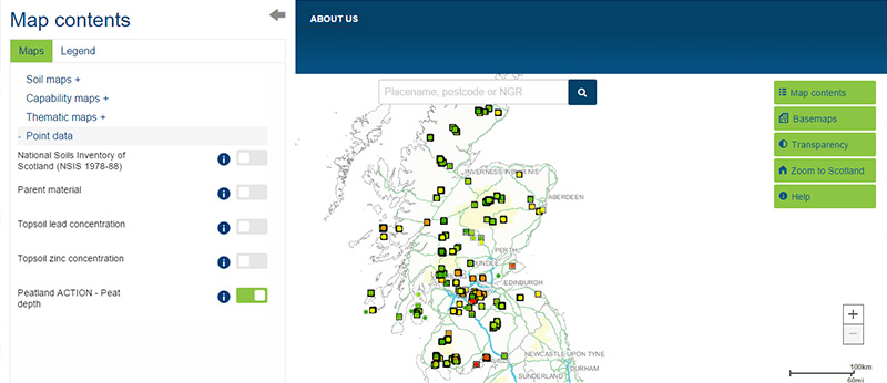
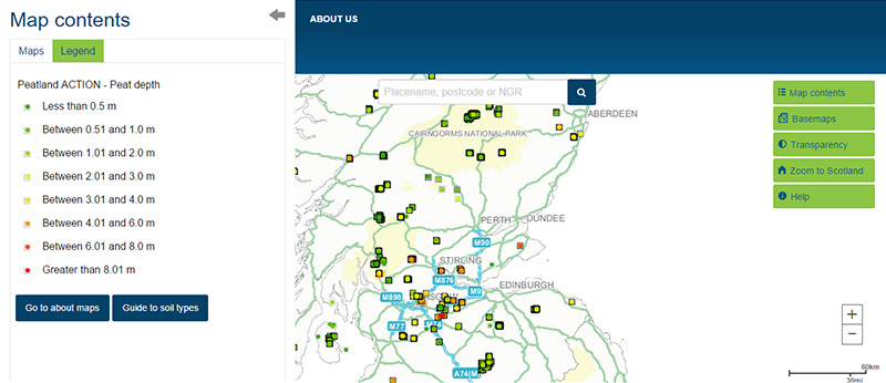
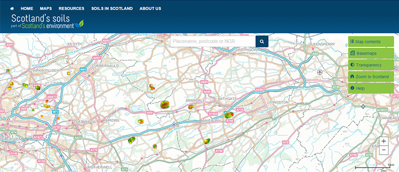
This map shows the locations where peat depth was recorded as part of the feasibility studies and baseline information collection for the Peatland Action restoration program. Over 90,000 individual survey points were recorded by 1 June 2023 (last updated 22 July 2024). The colour of the symbol relates to the total peat depth (in metres) for the individual sampling points.
Map legend
Total peat depth (metres) is shown in the following categories:
 |
No peat |
 |
Peat depth less than 0.5m |
 |
Peat depth between 0.5 and 1m |
 |
Peat depth between 1 and 2m |
 |
Peat depth between 2 and 3m |
 |
Peat depth between 3 and 4m |
 |
Peat depth between 4 and 6m |
 |
Peat depth between 6 and 8m |
 |
Peat depth between 8 and 10m |
 |
Peat depth greater than 10m |
What is included in the digital dataset?
The total peat depth dataset is extracted from the NatureScot Peatland Action database. Data were collected across Peatland Action restoration sites on a 100m grid pattern by a range of organisations including NGOs and public bodies. You can find detailed information on the sampling protocol in the Peatland Action Peat survey guidance.
How was the map / dataset created?
The dataset is a compilation of information collected from 338 projects carried out between 2013 and 2023. This version of the dataset was updated on 22 July 2024 and has over 90,000 individual points.
How is it updated?
The dataset will be updated at regular intervals to include new data collected as part of the ongoing Peatland Action program.
Using the map
What can I do?
Click on the map to find out the peat depth at each sampling location. You can also download the map data
Technical and reference material
This page was last updated on 11 Jul 2023
Adobe Acrobat Reader is the free, trusted leader for reliably viewing, annotating and signing PDFs.
Download Adobe Acrobat Reader


