View the map or download the data
What is it?
What do I see on my screen?
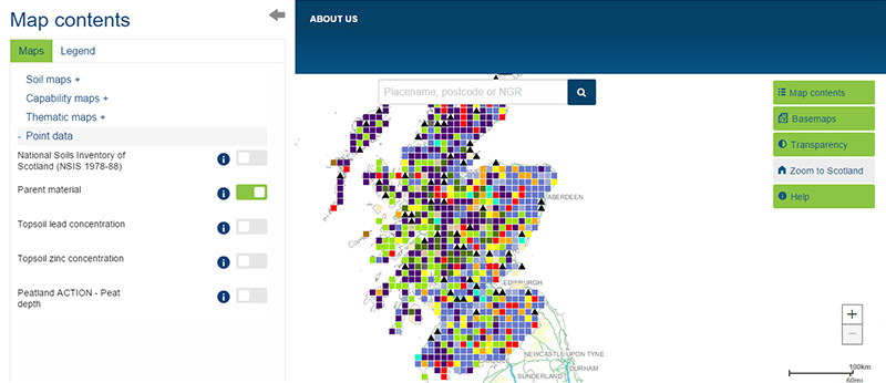
This map shows the soil parent material found at each National Soil Inventory of Scotland sampling location. This is the material in which the soils form. Parent material information is derived from the National Soil Inventory of Scotland (NSIS 1978-88) dataset.
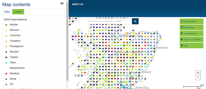
Map legend
The parent material is divided into the following categories:
 |
Aeolian - material deposited due to action of the wind |
 |
Alluvium - material deposited due to action of rivers or streams |
 |
Colluvium - material deposited due to down hillslope movement by creeping or surface wash |
 |
Cryogenic - material derived from the action of freeze and thaw processes |
 |
Fluvioglacial - material relating to or denoting erosion or deposition caused by flowing meltwater from glaciers or ice sheets |
 |
Moraine - mass of rocks and sediment carried down and deposited by a glacier |
 |
Organic - organic deposit |
 |
Other |
 |
Raised beach - former beach now lying above water level owing to geological changes since its formation |
 |
Residual - unconsolidated rock material |
 |
Scree - accumulated debris that rest against the base of an inland cliff |
 |
Till - unsorted glacial sediment |
 |
Water-modified till - glacial sediment sorted through water actions |
 |
Not sampled - undefined parent material |
What is included in the digital dataset?
Parent material information is not provided as a separate dataset but is one of the National Soil Inventory of Scotland (NSIS 1978-88) dataset attributes.
How was the map / dataset created?
You can find out more about the protocols used to generate this map in the NSIS Soil location, sampling and profile description protocols.
This map should be cited as: 'Lilly, A., Bell, J.S., Hudson, G., Nolan, A.J. & Towers. W. (Compilers) (2010). National soil inventory of Scotland (NSIS_1); site location, sampling and profile description protocols. (1978-1988). Technical Bulletin. Macaulay Institute, Aberdeen'.
How is it updated?
No updates to date
Using the map
What can I do?
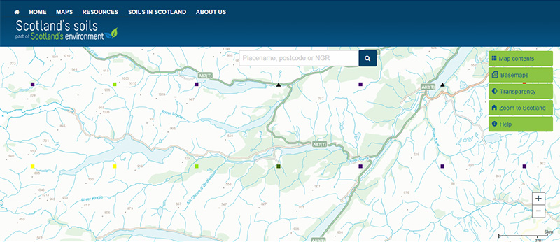
Click on the map to find out the parent material at each sampling location. The parent material information is derived from the National Soil Inventory of Scotland (NSIS 1978-88) dataset. You can download the whole dataset for Scotland.
Technical and reference material
This page was last updated on 25 May 2017
Adobe Acrobat Reader is the free, trusted leader for reliably viewing, annotating and signing PDFs.
Download Adobe Acrobat Reader


