View the map or download the data
What is it?
What do I see on my screen?
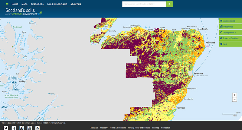
The map shows the risk of topsoil becoming compacted by traffic. It covers most of Scotland’s cultivated agricultural land area.
Map legend
The risk of topsoil compaction is shown in 3 classes: Low, Moderate or High. The risk of compaction in organic topsoil was not assessed.
 |
Low risk of topsoil compaction |
 |
Moderate risk of topsoil compaction |
 |
High risk of topsoil compaction |
 |
Organic topsoils - compaction risk not assessed |
 |
No data |
What is included in the digital dataset?
The digital dataset contains information on the risk of topsoil compaction by traffic in 3 classes: Low, Moderate or High.
How was the map / dataset created?
The assessment of the risk of soil compaction for each of the soils in the Soil Map of Scotland (partial cover) followed the guidelines published in Ball (1985) and Ball (1986) and is based on the natural soil drainage, soil texture and organic matter content. The Land Cover of Scotland map (1988) (LCS88) was used to identify which soils were semi-natural and likely to have an organic topsoil and which were likely to be cultivated and have a mineral topsoil. Where the LCS88 map showed a mixture of both semi-natural and cultivated land cover, the latter was taken to represent the land cover class. Where the soils were described as complexes (that is, more than one soil type if found in the area), the precautionary principle was applied and the soil most at risk of topsoil compaction was used to describe the whole map unit.
How is it updated?
The map will be updated when new areas of digitised soil information become available.
Using the map
What can I do?
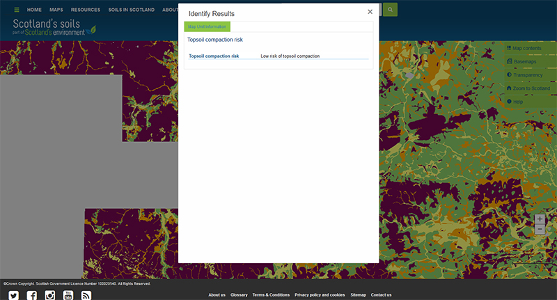
You can click on the map, or insert a grid reference or post code, to find out the risk of topsoil compaction. You can also download the map data from the James Hutton Institute data download page.
Be aware: This map is produced at a fixed scale; zooming-in does not change the resolution of the map.
Please cite as: Lilly, A. and Baggaley N.J. 2018. Topsoil compaction risk map of Scotland (partial cover). James Hutton Institute, Aberdeen.
This work was partly funded by the Rural & Environment Science & Analytical Services Division of the Scottish Government.
Technical and reference material
Ball, B.C. (Compiler) 1985. Cultivation requirements for Winter barley. SAC/MISR/SIAE publication 154. Scottish Agricultural Colleges. Edinburgh.
Ball, B.C. 1986. Provisional land grouping for selection of cultivation requirements for Winter barley in Scotland. Soil and Tillage Research, 7, 7-18.
Lilly, A & Baggaley, N.J. 2014. Developing simple indicators to assess the role of soils in determining risks to water quality, CREW project number CD2012_42.
SSDI Metadata file
This page was last updated on 18 May 2018
Adobe Acrobat Reader is the free, trusted leader for reliably viewing, annotating and signing PDFs.
Download Adobe Acrobat Reader


